Opis
- Inne oznaczenia / Other Names
- EPDE, Agat
- Status
- Lotnisko wojskowe
- Współrzędne / Coordinates
- N51°33'04" E21°53'31"
- Radio
- TWR 122.750, APP 128.250, GND 121.750, ATIS 140.350
- Elewacja / Elevation
- 394 ft
- RWY
- 121/301 (12/30), 2500 x 60 m beton, N51°33'04.1" E21°53'31.3"
- Kontakt / Contact
- MIL TWR +48 261 517 330, MIL APP +48 261 519 190, MIL GND +48 261 517 331
- Uwagi / Caution
- AIP
- https://www.ais.pansa.pl/aip/pliki/EP_AD_2_EPDE_en.pdf
- Link
- https://aeroklub2.home.pl/
Aktualizacja: 15.02.2022
Aktualizacja: 21.03.2021
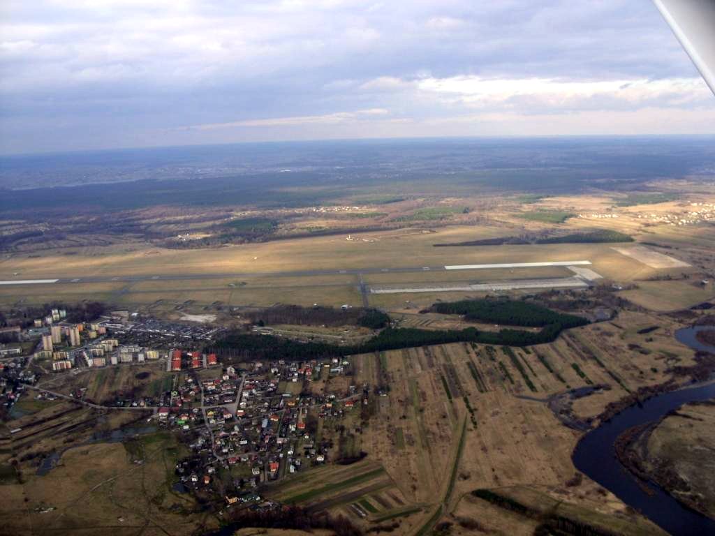
Dęblin-Irena - Galeria

Dęblin-Irena od strony zachodniej